• UGM
  • Fakultas Geografi
  • Perpustakaan
  • BKLN
  • EGSA
  • Contact Us
  • Webmail
  • English
    • Bahasa Indonesia
    • English
Universitas Gadjah Mada Universitas Gadjah Mada
Faculty of Geography
Department of Environmental Geography
  • Home
    • News and Informations
    • Lecturer Activities
    • Student Activities
  • Admission
  • Profile
    • Vision and Mission
    • Goals
    • Graduates Competency
    • Job Market
    • Collaboration
    • Accreditation
    • Facilities
  • Academic
    • Lecturer
    • Rules
    • Curriculum
    • Sylabus
    • Assessment
    • Calendar
    • Research
      • Karst Dynamics
      • Disaster Risk Management
      • Coast and Watershed Management
      • Mitigation and Adaptation to Climate Change
      • Migration Studies
      • Labor and Population
      • Settlements and Resources
      • Urban Studies
  • Alumni
    • Tracer Study
    • Alumni Testimonials
  • Students
    • Student Letters Submission
    • Freedom of Learning Independent Campus (MBKM) Procedure
    • Undergraduate Thesis Procedure
    • Undergraduate Thesis Research Proposal Procedure
    • Undergraduate Thesis Defense Procedure
    • Undergraduate Yudisium and Graduation Procedure
  • Home
  • news
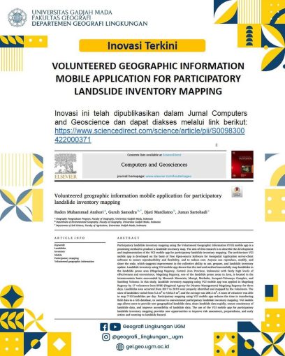
  • [Inovation] Volunteered Geographic Information (VGI) Mobile Aplication for Participatory Landslide Mapping and Inventory

[Inovation] Volunteered Geographic Information (VGI) Mobile Aplication for Participatory Landslide Mapping and Inventory

  • news
  • 30 May 2022, 17.49
  • Oleh: gel.geo
  • 0

Master of Geography student (Raden Muhammad Anshori) together with lecturers from the Department of Environmental Geography, Dr. Eng. Guruh Samodra, S.Si., M.Sc. and Prof. Dr. Djati Mardiatno, S.Si., M.Sc.

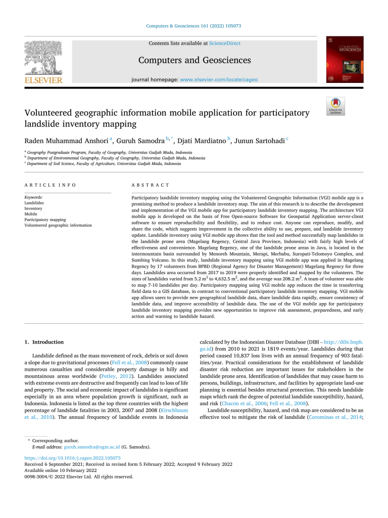
The participatory landslide mapping and inventory method based on the VGI application is a promising method for producing landslide inventory maps. This research explains the process of developing and implementing the use of the VGI application in mapping landslide points in a participatory manner. Success was demonstrated by the compilation of a map of landslide-prone areas in the study area, namely Magelang Regency, Central Java Province, Indonesia. The landslide points mapped include the intermountain basin area surrounded by the Menoreh Mountains, Merapi Volcano, Merbabu Volcano, Suropati-Telomoyo Volcano Complex, and Sumbing Volcano.
Link

Facebook: Geografi Lingkungan UGM

Instagram: @geografi_lingkungan_ugm

Email: gel.geo@ugm.ac.id

Website: gel.geo.ugm.ac.id

Tags: news

Leave A Comment Cancel reply

Your email address will not be published. Required fields are marked *

*

Universitas Gadjah Mada

DEPARTEMEN GEOGRAFI LINGKUNGAN
UNIVERSITAS GADJAH MADA

Sekip Utara Jalan Kaliurang, Bulaksumur, Yogyakarta, 55281

gel.geo@ugm.ac.id

+62 (274) 6492332 / 548632

+62 (274) 589595


© Universitas Gadjah Mada

KEBIJAKAN PRIVASI/PRIVACY POLICY

[EN] We use cookies to help our viewer get the best experience on our website. -- [ID] Kami menggunakan cookie untuk membantu pengunjung kami mendapatkan pengalaman terbaik di situs web kami.I Agree / Saya Setuju